
__
PILOT AREA
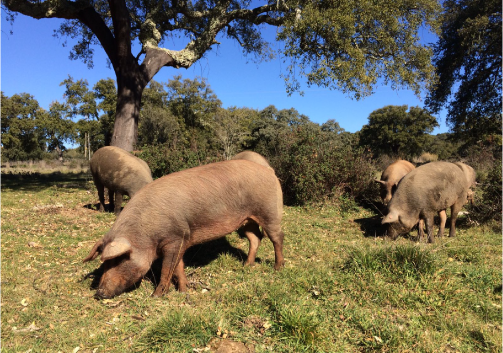
L11 - LA ATALAYA
Cazalla de la Sierra, Andaluzia, Spain
__
©ADPM
VIEW MORE
__
PILOT AREA
L11 - LA ATALAYA
Cazalla de la Sierra, Andaluzia, Spain
__
©ADPM
VIEW MORE
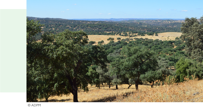 |
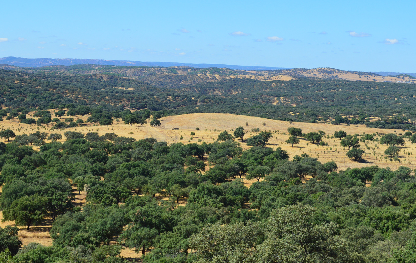
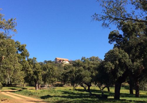
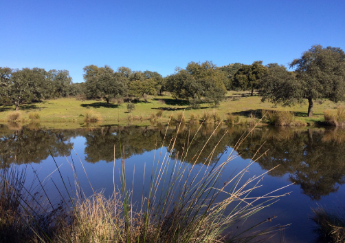
MANAGING ENTITY: Consejeria de Agricultura, Ganadería, Pesca y Desarrollo Sostenible LOCATION: Cazalla de la Sierra, Andaluzia, Spain TOTAL AREA: 682 ha PROJECT AREA: 95,6 ha DESCRIPTION: “La Atalaya” is a Montado/Dehesa in the northern region of Andalusia, whose managing entity is the Ministry of Agriculture, Livestock, Fisheries and Sustainable Development, the state entity responsible for protecting wild fauna and flora, as well as defining and regulating the management of protected natural areas. In line with these objectives, this exploration will demonstrate the economic and environmental benefits achieved through the implementation of an Integrated Land Use (ILU) system applied to Montado/Dehesa.
|

IMPLEMENTATION OF THE PLAN
 |
 |
 |
TECHNICAL FILES
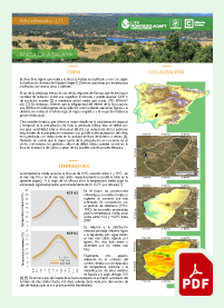 Finca La Atalaya Climate Factsheet (ES) |
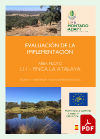 Evaluación de la Implementación: La Atalaya (ES) |
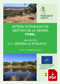 Integrated Land Use: La Atalaya (ES) |
 Estudo Económico: La Atalaya (PT) |
 Modelo de Negócio: La Atalaya (PT) |
|
INTEGRATED LAND USE
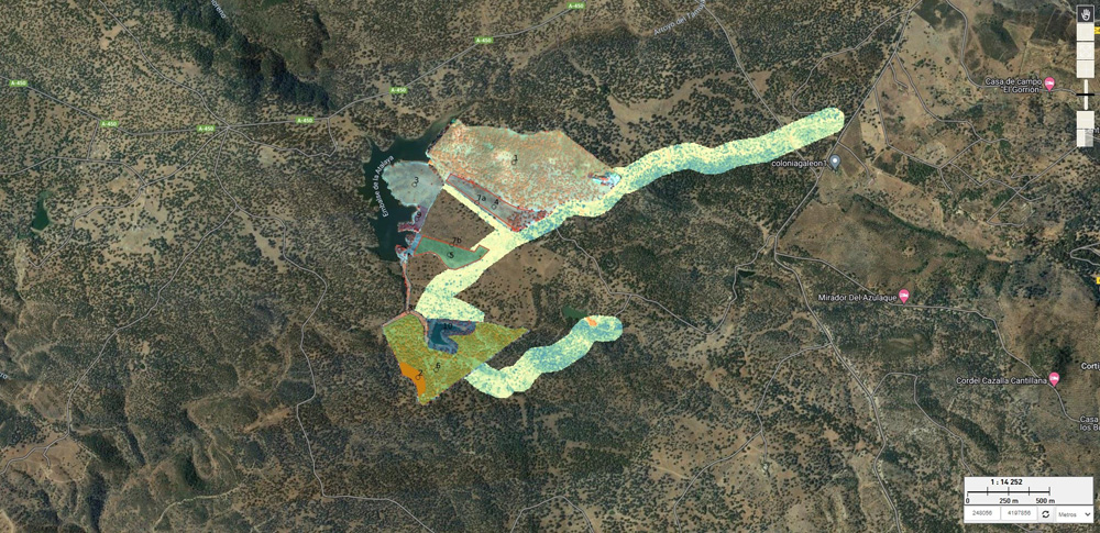
Click on the image to access the interactive map.
Copyright © 2022 ADPM. Todos os direitos reservados.
MENU